
Michigan Airports
|
 Michigan's busiest airport is
the Detroit Metro Airport.
Other major airports in Michigan include
the Bishop International Airport in Flint,
the Cherry Capital Airport in Traverse City,
the Chippewa County International Airport in Sault Ste Marie,
the Delta County Airport in Escanaba,
the Gerald R. Ford International Airport in Grand Rapids,
the Houghton County Memorial Airport in Hancock,
the Kalamazoo/Battle Creek International Airport,
the Lansing Capital City Airport,
the Muskegon County Airport,
the Pellston Regional Airport,
the Saginaw International Airport, and
the Sawyer International Airport in Marquette.
Michigan's busiest airport is
the Detroit Metro Airport.
Other major airports in Michigan include
the Bishop International Airport in Flint,
the Cherry Capital Airport in Traverse City,
the Chippewa County International Airport in Sault Ste Marie,
the Delta County Airport in Escanaba,
the Gerald R. Ford International Airport in Grand Rapids,
the Houghton County Memorial Airport in Hancock,
the Kalamazoo/Battle Creek International Airport,
the Lansing Capital City Airport,
the Muskegon County Airport,
the Pellston Regional Airport,
the Saginaw International Airport, and
the Sawyer International Airport in Marquette.
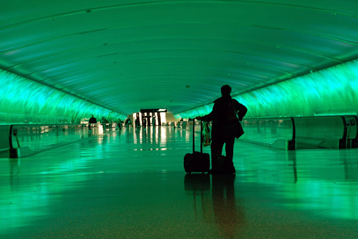
The photograph at right shows a pedestrian tunnel at Detroit Metro Airport.
Interactive Michigan Airports Map
This section features an airport locator map that can be zoomed and panned to show the state of Michigan and its neighbors or a small region of the state. Use the plus (+) and minus (-) buttons to zoom the map in and out, respectively. Simply swipe or drag the map to pan it in any direction. The airport markers on this Michigan map can help travelers find IATA-designated airports in the state and plan their air travel arrangements more efficiently.
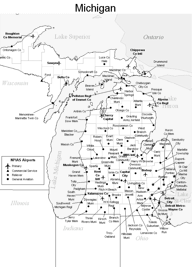
FAA Michigan Airport Locator Map
This Michigan airport map shows FAA-designated commercial service airports, reliever airports, and general aviation airports in the State of Michigan. Primary airports are designated with an airplane symbol.
Copyright © State-Maps.org. All rights reserved.
Michigan airport map source: FAA 2001-2005 NPIAS.
Michigan airport map source: FAA 2001-2005 NPIAS.